By Sajila Saseendran http://khaleejtimes.com/
Dubai – After Google’s Street View and Dubai’s 360 project, an indigenous 3D map will provide a whole new and ‘sharp’ view of the city of Dubai.
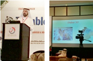
 The Dubai Municipality on Monday announced that it will start 3D mapping of the emirate this month, primarily for government departments to benefit from the aerial imageries of the city’s locales and buildings.
The Director of Geographic Information Systems (GIS) Department Abdul Hakim Malik said by the end of the year, the 3D map will be ready after processing the aerial images captured by octocopters, drones used for vertical mapping. “This is the first 3D mapping project for Dubai. This will be the first time we will have aerial images with 10cm precision,” Malik said.
He was speaking on the sidelines of the GIS & Remote Sensing Annual Scientific Forum, which began in conjunction with the 10th Middle East Geospatial Forum. Covering an area of 1,300 square kilometres, the entire CBD (Central Business District) of Dubai including free zones will be featured in the 3D map, he said.
It will be first made available through Amakin, an intra-departmental web portal used by Dubai’s local authorities.
The department plans to integrate a colour-coded cartographic map with the 3D map and provide it to the public by 2016, Malik said. The 3D images will be much sharper than those in Google Earth, he said, revealing that Dubai, like many other cities in the world, has not allowed Google to take aerial images of the city. More info


